Türkeli District | |
|---|---|
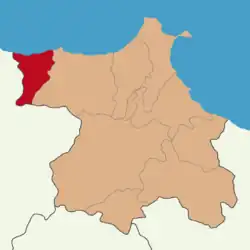 Map showing Türkeli District in Sinop Province | |
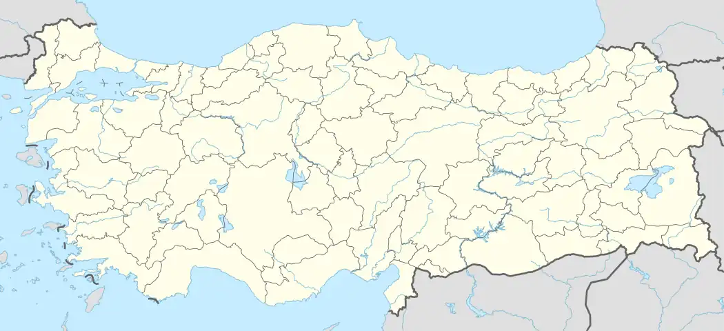 Türkeli District Location in Turkey | |
| Coordinates: 41°55′N 34°20′E / 41.917°N 34.333°E | |
| Country | Turkey |
| Province | Sinop |
| Seat | Türkeli |
| Government | |
| • Kaymakam | Mesut Ozan Yılmaz |
| Area | 263 km2 (102 sq mi) |
| Population (2022) | 16,006 |
| • Density | 61/km2 (160/sq mi) |
| Time zone | TRT (UTC+3) |
| Website | www |
Türkeli District is a district of the Sinop Province of Turkey. Its seat is the town of Türkeli.[1] Its area is 263 km2,[2] and its population is 16,006 (2022).[3] Türkeli is one of the districts of Sinop Province that produces walnuts.[4]
Composition
There is one municipality in Türkeli District:[1]
There are 33 villages in Türkeli District:[5]
- Akçabük
- Alagöz
- Ayaz
- Çatakgeriş
- Çatakgüney
- Çatakörencik
- Direkli
- Düzköy
- Düzler
- Gaziler
- Gencek
- Gökçealan
- Gündoğdu
- Güzelkent
- Hacıköy
- Hamamlı
- Işıklı
- Karabey
- Kayabaşı
- Keş
- Kuşçular
- Kuzköy
- Oymayaka
- Sarmaşık
- Satıköy
- Sazkışla
- Taçahmet
- Taşgüney
- Turhan
- Yapraklı
- Yazıcı
- Yeşiloba
- Yusuflu
References
- 1 2 İlçe Belediyesi, Turkey Civil Administration Departments Inventory. Retrieved 22 May 2023.
- ↑ "İl ve İlçe Yüz ölçümleri". General Directorate of Mapping. Retrieved 22 May 2023.
- ↑ "Address-based population registration system (ADNKS) results dated 31 December 2022, Favorite Reports" (XLS). TÜİK. Retrieved 22 May 2023.
- ↑ Gazete, Banka (17 November 2021). "Türkeli'de 7 bin 500 ceviz fidanı dağıtıldı". Gazetebanka.com. Retrieved 17 November 2021.
- ↑ Köy, Turkey Civil Administration Departments Inventory. Retrieved 22 May 2023.
Türkeli District in Sinop Province of Turkey | |||||||||||||||||||||||||||
|---|---|---|---|---|---|---|---|---|---|---|---|---|---|---|---|---|---|---|---|---|---|---|---|---|---|---|---|
| Districts | 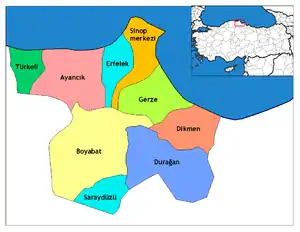 Districts of Sinop | ||||||||||||||||||||||||||
| |||||||||||||||||||||||||||
Metropolitan municipalities are bolded. | |||||||||||||||||||||||||||
| Municipalities | |
|---|---|
| Villages |
|
This article is issued from Wikipedia. The text is licensed under Creative Commons - Attribution - Sharealike. Additional terms may apply for the media files.