Boswell Bay Airport | |||||||||||
|---|---|---|---|---|---|---|---|---|---|---|---|
| Summary | |||||||||||
| Airport type | Private | ||||||||||
| Owner | U.S. Forest Service | ||||||||||
| Serves | Boswell Bay, Alaska | ||||||||||
| Elevation AMSL | 230 ft / 70 m | ||||||||||
| Coordinates | 60°25′23″N 146°08′45″W / 60.42306°N 146.14583°W | ||||||||||
| Map | |||||||||||
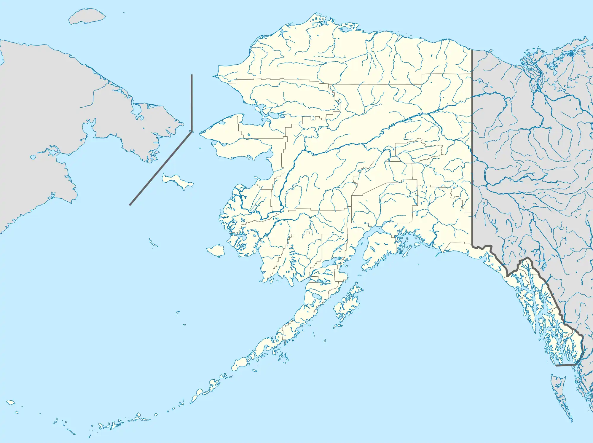
 BSW Location of airport in Alaska | |||||||||||
| Runways | |||||||||||
| |||||||||||
| Statistics (1985) | |||||||||||
| |||||||||||
Boswell Bay Airport (IATA: BSW[2], FAA LID: AK97) is owned by the U.S. Forest Service and is located near Boswell Bay, in the Valdez–Cordova Census Area, Alaska of the U.S. state of Alaska.[1] The airfield was constructed in 1968 to serve the nearby White Alice radar site, now abandoned.
Facilities and aircraft
Boswell Bay Airport has one runway designated 4/22 with a 2,612 by 100 ft (796 x 30 m) gravel surface. For the 12-month period ending August 14, 1985, the airport had 400 aircraft operations, an average of 33 per month: 63% air taxi and 38% general aviation.[1]
References
- 1 2 3 FAA Airport Form 5010 for AK97 PDF, effective 2008-09-25.
- ↑ Airport information for BSW at Great Circle Mapper.
External links
- Resources for this airport:
- FAA airport information for AK97
- AirNav airport information for AK97
- ASN accident history for BSW
- FlightAware airport information and live flight tracker
- SkyVector aeronautical chart for AK97
This article is issued from Wikipedia. The text is licensed under Creative Commons - Attribution - Sharealike. Additional terms may apply for the media files.