Sleetmute Airport | |||||||||||
|---|---|---|---|---|---|---|---|---|---|---|---|
| Summary | |||||||||||
| Airport type | Public | ||||||||||
| Owner | Alaska DOT&PF - Central Region | ||||||||||
| Serves | Sleetmute, Alaska | ||||||||||
| Elevation AMSL | 190 ft / 58 m | ||||||||||
| Coordinates | 61°42′02″N 157°09′57″W / 61.70056°N 157.16583°W | ||||||||||
| Map | |||||||||||
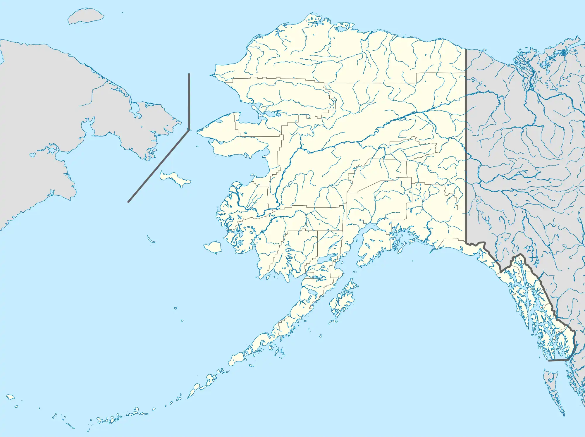 SLQ Location of airport in Alaska | |||||||||||
| Runways | |||||||||||
| |||||||||||
Sleetmute Airport (IATA: SLQ, ICAO: PASL, FAA LID: SLQ) is a state-owned public-use airport serving Sleetmute,[1] in the Bethel Census Area of the U.S. state of Alaska.
Facilities
Sleetmute Airport covers an area of 145 acres (59 ha) at an elevation of 190 feet (58 m) above mean sea level. It has one runway, designated 14/32 with a gravel surface measuring 3,100 by 60 feet (945 x 18 m).[1]
Airlines and destinations
| Airlines | Destinations |
|---|---|
| Ryan Air | Aniak, Stony River[2] |
See also
References
- 1 2 3 FAA Airport Form 5010 for SLQ PDF, effective 2009-05-07.
- ↑ "Passenger Schedules". Ryan Air Services. Retrieved December 20, 2020.
External links
- FAA Alaska airport diagram (GIF)
- Resources for this airport:
- FAA airport information for SLQ
- AirNav airport information for PASL
- ASN accident history for SLQ
- FlightAware airport information and live flight tracker
- NOAA/NWS latest weather observations for PASL
- SkyVector aeronautical chart for SLQ
This article is issued from Wikipedia. The text is licensed under Creative Commons - Attribution - Sharealike. Additional terms may apply for the media files.