Chicken Airport | |||||||||||
|---|---|---|---|---|---|---|---|---|---|---|---|
.jpg.webp) | |||||||||||
| Summary | |||||||||||
| Airport type | Public | ||||||||||
| Owner | Alaska DOT&PF - Northern Region | ||||||||||
| Serves | Chicken, Alaska | ||||||||||
| Elevation AMSL | 1,640 ft / 500 m | ||||||||||
| Coordinates | 64°04′17″N 141°57′08″W / 64.07139°N 141.95222°W | ||||||||||
| Map | |||||||||||
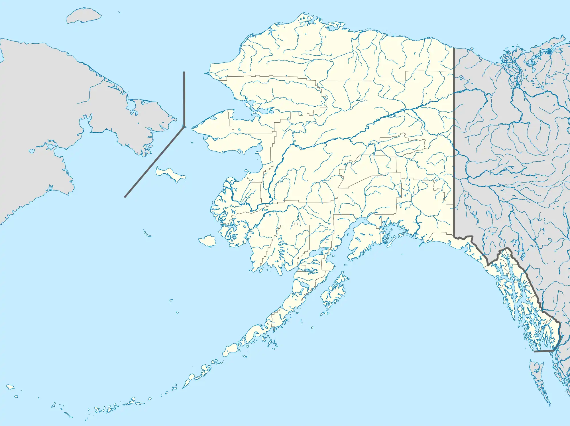
 CKX Location of airport in Alaska | |||||||||||
| Runways | |||||||||||
| |||||||||||
| Statistics (2015) | |||||||||||
| |||||||||||
Chicken Airport (IATA: CKX, FAA LID: CKX) is a state-owned public-use airport located in Chicken,[1] a community in the Southeast Fairbanks Census Area of the U.S. state of Alaska. It is included in the FAA's National Plan of Integrated Airport Systems for 2011–2015, which categorized it as a general aviation facility.[2] Both Boundary and Eagle destinations are flag stops on the Tok-Chicken route. The aircraft will not stop at these destinations unless there is scheduled cargo or passengers flying in or out of those destinations.[3]
Facilities and aircraft
Chicken Airport covers an area of 68 acres (28 ha) at an elevation of 1,640 feet (500 m) above mean sea level. It has one runway designated 13/31 with a gravel surface measuring 2,500 by 60 feet (762 x 18 m). For the 12-month period ending December 31, 2005, the airport had 475 aircraft operations, an average of 39 per month: 74% general aviation and 26% air taxi.[1]
Airlines and destinations
| Airlines | Destinations |
|---|---|
| 40-Mile Air | Tok[3] |
Statistics
| Carrier | Passengers (arriving and departing) |
|---|---|
| 40-Mile Air | 31(100.00%) |
| Rank | City | Airport | Passengers | Carriers |
|---|---|---|---|---|
| 1 | Tok Junction Airport | 14 | 40-Mile Air |
See also
References
- 1 2 3 FAA Airport Form 5010 for CKX PDF. Federal Aviation Administration. effective January 5, 2017.
- ↑ "2011–2015 NPIAS Report, Appendix A (PDF, 2.03 MB)" (PDF). faa.gov. Federal Aviation Administration. October 4, 2010. Archived from the original (PDF) on 2012-09-27.
- 1 2 "40-Mile Air Scheduled Destinations". 40-Mile Air. Retrieved Sep 11, 2022.
- 1 2 "Chicken, AK: Chicken (CKX)". Bureau of Transportation Statistics (BTS), Research and Innovative Technology Administration (RITA), U.S. Department of Transportation. December 2015. Retrieved January 15, 2017.
External links
- Topographic map as of July 1956 from USGS The National Map
- Resources for this airport:
- FAA airport information for CKX
- AirNav airport information for CKX
- ASN accident history for CKX
- FlightAware airport information and live flight tracker
- SkyVector aeronautical chart for CKX