Coldfoot Airport | |||||||||||
|---|---|---|---|---|---|---|---|---|---|---|---|
 Approach to Runway 1, June 2008 (Trans-Alaska Pipeline passes nearby) | |||||||||||
| Summary | |||||||||||
| Airport type | Public | ||||||||||
| Owner | State of Alaska DOT&PF - Northern Region | ||||||||||
| Serves | Coldfoot, Alaska | ||||||||||
| Elevation AMSL | 1,042 ft / 318 m | ||||||||||
| Coordinates | 67°15′08″N 150°12′14″W / 67.25222°N 150.20389°W | ||||||||||
| Map | |||||||||||
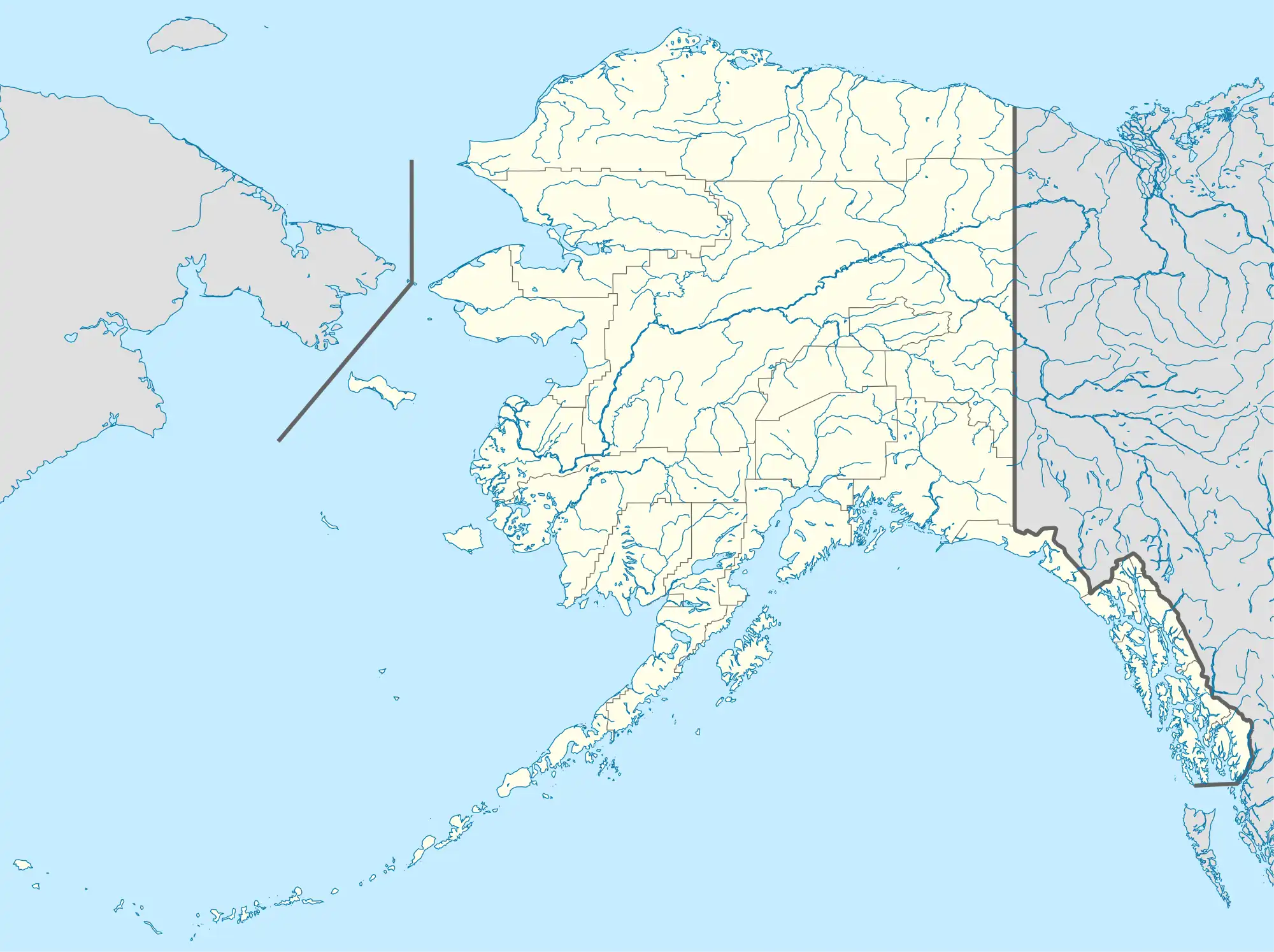
 CXF Location of airport in Alaska | |||||||||||
| Runways | |||||||||||
| |||||||||||
| Statistics (2016) | |||||||||||
| |||||||||||
Coldfoot Airport (IATA: CXF, ICAO: PACX, FAA LID: CXF) is a state-owned, public-use airport located in Coldfoot, in the Yukon-Koyukuk Census Area in the U.S. state of Alaska.[1]
Facilities and aircraft
Coldfoot Airport covers an area of 288 acres (117 ha) at an elevation of 1,042 feet (318 m) above mean sea level. It has one runway designated 1/19 with a gravel surface measuring 4,000 by 100 feet (1,219 x 30 m). For the 12-month period ending December 31, 2005, the airport had 1,000 aircraft operations, an average of 83 per month: 80% air taxi and 20% general aviation.[1]
Airlines and destinations
Statistics
| Carrier | Passengers (arriving and departing) |
|---|---|
| Warbelow's | 890(84.33%) |
| Wright | 170(15.67%) |
| Rank | City | Airport | Passengers |
|---|---|---|---|
| 1 | Fairbanks International Airport | 460 | |
| 2 | Anaktuvuk Pass Airport | 10 | |
See also
References
- 1 2 3 FAA Airport Form 5010 for CXF PDF. Federal Aviation Administration. effective March 27, 2017.
- 1 2 "Coldfoot, AK: Coldfoot (CXF)". Bureau of Transportation Statistics (BTS), Research and Innovative Technology Administration (RITA), U.S. Department of Transportation. December 2016. Retrieved May 4, 2017.
External links
- FAA Terminal Procedures for CXF, effective December 28, 2023
- Resources for this airport:
- FAA airport information for CXF
- AirNav airport information for PACX
- ASN accident history for CXF
- FlightAware airport information and live flight tracker
- SkyVector aeronautical chart for PACX
This article is issued from Wikipedia. The text is licensed under Creative Commons - Attribution - Sharealike. Additional terms may apply for the media files.