Red Devil Airport | |||||||||||
|---|---|---|---|---|---|---|---|---|---|---|---|
| Summary | |||||||||||
| Airport type | Public | ||||||||||
| Owner | Alaska DOT&PF - Central Region | ||||||||||
| Serves | Red Devil, Alaska | ||||||||||
| Elevation AMSL | 174 ft / 53 m | ||||||||||
| Coordinates | 61°47′17″N 157°21′01″W / 61.78806°N 157.35028°W | ||||||||||
| Map | |||||||||||
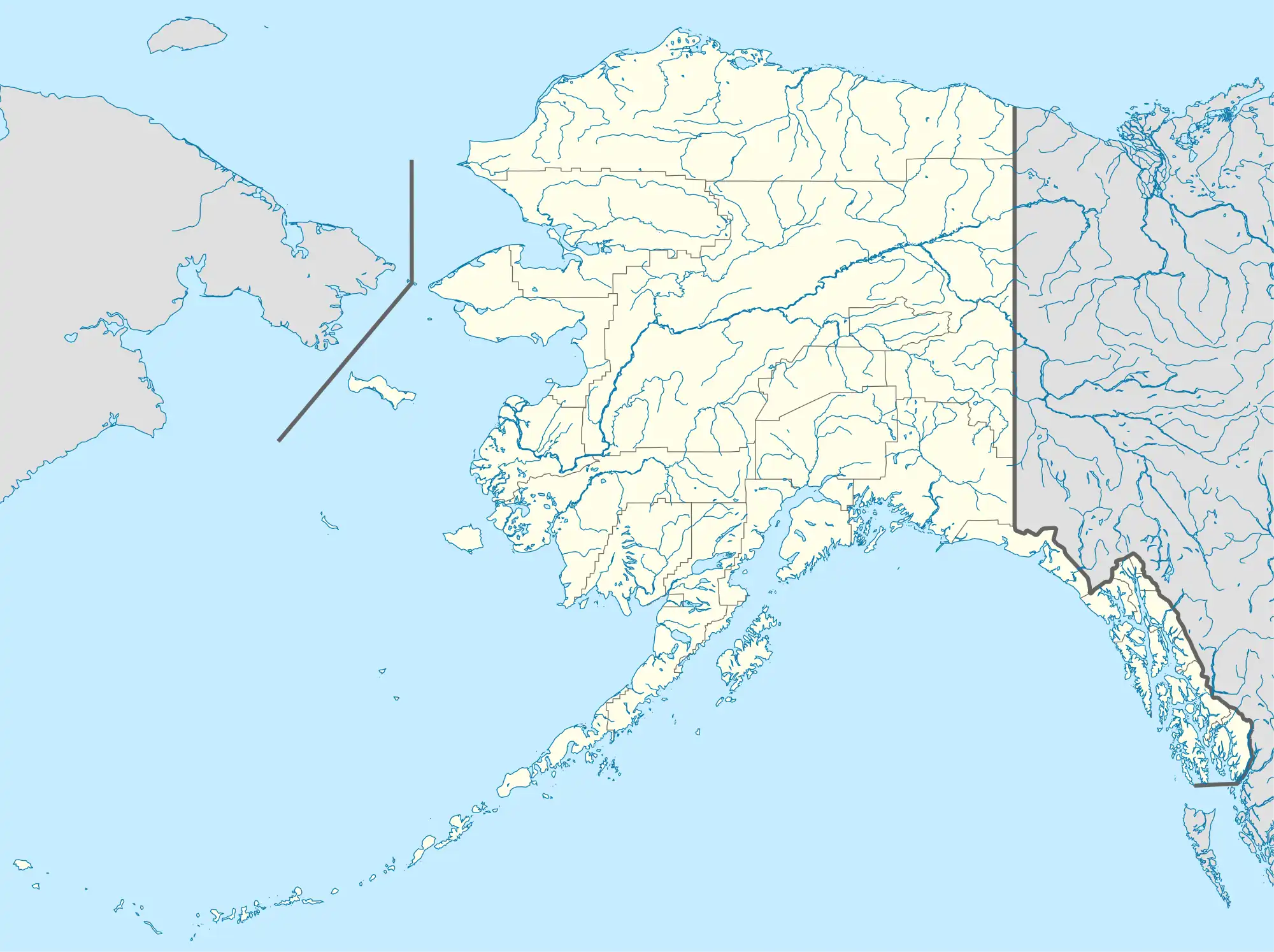 RDV Location of airport in Alaska | |||||||||||
| Runways | |||||||||||
| |||||||||||
Red Devil Airport (IATA: RDV, FAA LID: RDV) is a public use airport located one nautical mile (1.85 km) northwest of the central business district of Red Devil,[1] in Bethel Census Area of the U.S. state of Alaska.
Facilities
Red Devil Airport covers an area of 311 acres (126 ha) at an elevation of 174 feet (53 m) above mean sea level. It has one runway designated 10/28 with a gravel surface measuring 4,801 by 75 feet (1,463 x 23 m).[1]
Airlines and destinations
| Airlines | Destinations |
|---|---|
| Ryan Air | Aniak, Sleetmute, Stony River[2] |
Accidents and incidents
- On 24 March 1971, Douglas C-47B N49319 of Vanderpool Flying Service was damaged beyond economic repair in a landing accident. The aircraft was on an executive flight from Bethel Airport.[3]
See also
References
- 1 2 3 FAA Airport Form 5010 for RDV PDF, effective 2009-05-07.
- ↑ "Passenger Schedules". Ryan Air Services. Retrieved December 20, 2020.
- ↑ "Accident description". Aviation Safety Network. Retrieved 19 September 2010.
External links
- FAA Alaska airport diagram (GIF)
- Resources for this airport:
- FAA airport information for RDV
- AirNav airport information for RDV
- ASN accident history for RDV
- FlightAware airport information and live flight tracker
- SkyVector aeronautical chart for RDV
This article is issued from Wikipedia. The text is licensed under Creative Commons - Attribution - Sharealike. Additional terms may apply for the media files.