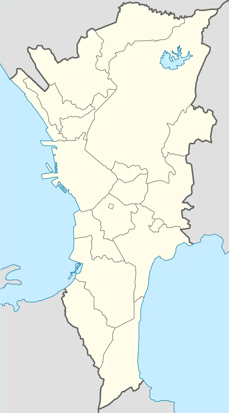
Calzada Tipas | |
|---|---|
Calzada Tipas Barangay Hall, and Barangay Satellite View Map. | |
 Seal | |
 Calzada Tipas | |
| Coordinates: 14°31′39.76″N 121°4′35.85″E / 14.5277111°N 121.0766250°E | |
| Country | Philippines |
| Region | National Capital Region |
| City | Taguig |
| District | 1st Legislative district of Taguig |
| Calzada Tipas | July 15, 1971 |
| Government | |
| • Type | Barangay |
| • Punong Barangay | Rommel "Ome" Tanyag |
| Population (2020) | |
| • Total | 28,660 |
| Time zone | UTC+8 (PST) |
| Postal Code | 1637 |
| Area code | 02 |
| Website | https://www.facebook.com/BarangayCalzadaTipas/ |
Calzada Tipas is one of the 38 barangays of Taguig, Metro Manila in the Philippines. One of the 18 barangay of Taguig when it becomes a part Metropolitan Manila on November 07, 1975.[1]
History
Through Municipal Resolution number 51 of the Municipal Council of Taguig on July 15, 1971, the old Nayon of Tipas was divided into 4 Barrios namely Calzada Tipas, Palingon Tipas, Ligid Tipas, and Ibayo Tipas.[2] It was ratified by Presidential Decree number 557 on September 20, 1974.[3]
Etymology
The name of the Barangay was derived from the Spanish word "Calzada", which means road. It links the old town of Taguig where the Presidencia or Municipal Hall was and our neighboring towns of Taguig like Pateros and Pasig.
Geography
Calzada is bounded on the North by Palingon Tipas. From the East by Laguna de Bay. To the South by Santa Ana. Then on the West by Tuktukan.
References
- ↑ https://lawphil.net/statutes/presdecs/pd1975/pd_824_1975.html
- ↑ A gift of faith, 400 years. Quadricentennial (1587-1987) St. Anne Parish Tagig, Metro Manila; commemorative book page 57, circa 1987.
- ↑ Presidential Decree no:557 1974 officialgazette.gov.ph
