 USGS aerial imagery of Fay Island | |
 Fay Island  Fay Island  Fay Island | |
| Geography | |
|---|---|
| Location | Northern California |
| Coordinates | 37°56′55″N 121°33′55″W / 37.9485348°N 121.5652291°W[1] |
| Adjacent to | Sacramento–San Joaquin River Delta |
| Administration | |
United States | |
| State | |
| County | San Joaquin |
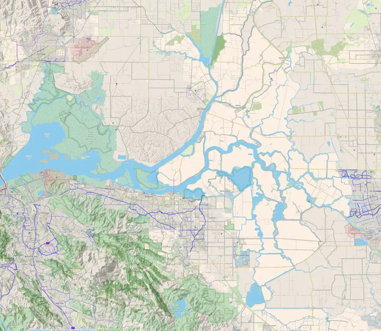
Fay Island is a small, partially submerged island in the San Joaquin River delta, in California.[2] It is part of San Joaquin County, and managed by Reclamation District 2113.[3][4] Its coordinates are 37°56′55″N 121°33′55″W / 37.9485348°N 121.5652291°W[1]. It appears, almost completely submerged, on a 1952 United States Geological Survey map of the area.[5]
References
- 1 2 U.S. Geological Survey Geographic Names Information System: Fay Island
- ↑ "Residents near levees bail water and hope for best". The Modesto Bee. Modesto, California. 1983-06-26. p. 2.
- ↑ "Municipal Service Review: Selected San Joaquin County Reclamation Districts" (PDF). San Joaquin Local Agency Formation Commission. E Mulberg & Associates. 18 March 2018. Retrieved 24 February 2021.
- ↑ "US Gives State $6.2 Million To Repair Battered Levees". The Sacramento Bee. Sacramento, California. 1983-02-23. p. 16.
- ↑ United States Geological Survey (1952). "Woodward Island Quadrangle, California" (Map). United States Department of the Interior Geological Survey. 1:24000.
This article is issued from Wikipedia. The text is licensed under Creative Commons - Attribution - Sharealike. Additional terms may apply for the media files.
