 USGS aerial imagery of Moore Tract | |
 Moore Tract  Moore Tract  Moore Tract | |
| Geography | |
|---|---|
| Location | Northern California |
| Coordinates | 38°19′00″N 121°42′53″W / 38.31667°N 121.71472°W[1] |
| Adjacent to | Sacramento–San Joaquin River Delta |
| Area | 1,540 acres (620 ha)[2] |
| Highest elevation | 7 ft (2.1 m)[1] |
| Administration | |
United States | |
| State | |
| County | Solano |
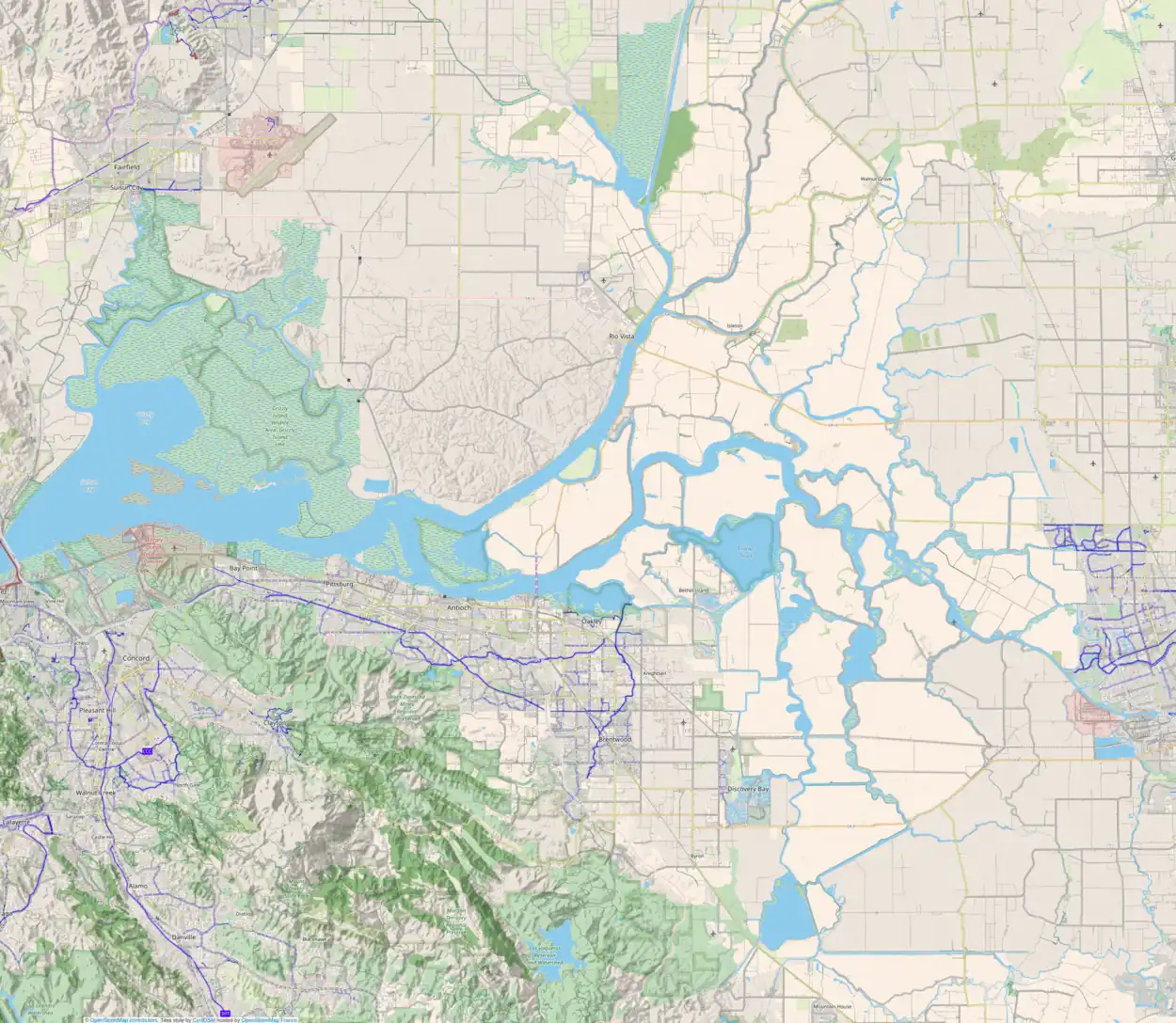
The Moore Tract is an island in the Sacramento–San Joaquin River Delta.[3] It is in Solano County, California, and administered by Reclamation District 2098 since 1963.[4] Its coordinates are 38°19′00″N 121°42′53″W / 38.31667°N 121.71472°W[1], and the United States Geological Survey gave its elevation as 7 ft (2.1 m) in 1981.[1]
References
- 1 2 3 4 U.S. Geological Survey Geographic Names Information System: Moore Tract
- ↑ "Redwoods may be Belotti memorial". The Press Democrat. Santa Rosa, California. 1974-01-30. p. 1.
- ↑ "Sacramento Dispatch". Independent Coast Observer. Gualala, California. 1974-02-08. p. 2.
- ↑ "Municipal Service Review: Solano County Water, Irrigation, Reclamation, and Flood Management Agencies" (PDF). Solano County LAFCO. Michael Brandman Associates. 13 April 2009. Archived (PDF) from the original on 14 March 2021. Retrieved 23 February 2021.
This article is issued from Wikipedia. The text is licensed under Creative Commons - Attribution - Sharealike. Additional terms may apply for the media files.
