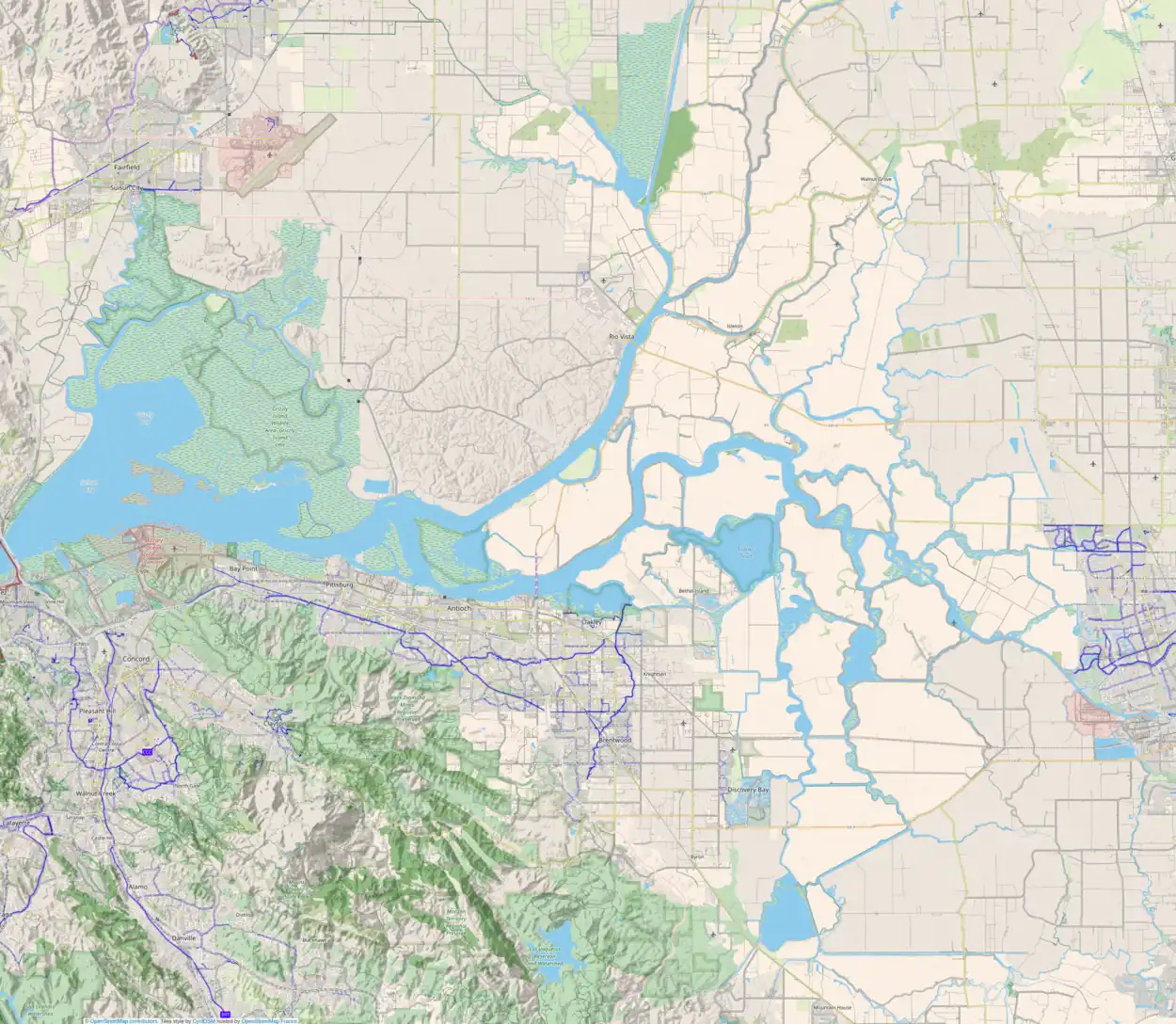
 USGS aerial imagery of Hammond Island, with Grizzly Bay to the west, Grizzly Island to the north across Grizzly Slough, Wheeler Island to the south across Roaring River Slough, Van Sickle Island to the southeast, and Simmons Island to the southwest. | |
    | |
| Geography | |
|---|---|
| Location | Northern California |
| Coordinates | 38°06′18″N 121°56′15″W / 38.10500°N 121.93750°W[1] |
| Adjacent to | Suisun Bay |
| Highest elevation | 0 ft (0 m) |
| Administration | |
| State | |
| County | Solano |

A 2015 aerial photo of Grizzly Bay taken from the southeast; Hammond Island can be seen near the center, with Van Sickle Island to the southeast, Wheeler Island and Honker Bay to the south, Simmons Island to the southwest and Grizzly Island to the north.
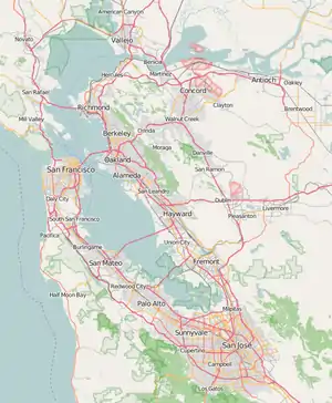
Hammond Island is a small island in Suisun Bay, California.[2][3][4][5][6][7][8][9] It is part of Solano County.[10][11][12][13][14][15][16] Its coordinates are 38°06′18″N 121°56′15″W / 38.10500°N 121.93750°W[1]. An 1850 survey map of the San Francisco Bay area made by Cadwalader Ringgold shows islands partially covering some of the current area of Hammond Island, labeled "Davis Island" and "Warrington Island".[17]
References
- 1 2 U.S. Geological Survey Geographic Names Information System: Hammond Island
- ↑ California State Automobile Association (1999). San Francisco Bay Region (Map). 1:190,000. American Automobile Association.
- ↑ "Local News". The Sacramento Bee. Sacramento, California. 1868-10-08. p. 3.
- ↑ "Delinquent Tax Roll". The Sacramento Bee. Sacramento, California. 1876-01-15. p. 5.
- ↑ "Tax Sales". The Record-Union. Sacramento, California. 1890-03-12. p. 2.
- ↑ "Real Estate Transfers". The Record-Union. Sacramento, California. 1893-06-10. p. 5.
- ↑ "Country Real Estate". The San Francisco Examiner. San Francisco, California. 1910-09-04. p. 28.
- ↑ "Real Estate Transfers". The Sacramento Bee. Sacramento, California. 1911-08-04. p. 12.
- ↑ "Mortality In Duck Circles To Be Awful". The San Francisco Examiner. San Francisco, California. 1916-10-21. p. 10.
- ↑ "Safe--But Zowie". San Francisco Chronicle. San Francisco, California. 1916-10-22. p. 39.
- ↑ "Contra Costa Industry To Wage War On 2 Franchises". Napa Journal. Napa, California. 1935-02-10. p. 1.
- ↑ "Fishers Protest Garbage Disposal". Contra Costa Gazette. Martinez, California. 1935-02-12. p. 4.
- ↑ "Concord Chamber of Commerce Protests Garbage Disposal". Concord Transcript. Concord, California. 1935-02-14. p. 1.
- ↑ "Flying Friends Found Dead in Plane Wreckage". Oakland Tribune. Oakland, California. 1953-10-03. p. 1.
- ↑ "Martha Molendyk". The Berkeley Gazette. Berkeley, California. 1975-12-03. p. 27.
- ↑ "Public Notice No. 411: Notice of Intent to Adopt Negative Declaration". The Sacramento Bee. Sacramento, California. 1982-08-07. p. 38.
- ↑ Ringgold, Cadwalader; Stuart, Fred D.; Everett, Chas.; Harrison (1850). "General Chart embracing Surveys of the Farallones Entrance to the Bay of San Francisco, Bays of San Francisco and San Pablo, Straits of Carquines and Suisun Bay, and the Sacramento and San Joaquin Rivers, to the Cities of Sacramento and San Joaquin, California". David Rumsey Map Collection. San Francisco Common Council. Archived from the original on 7 July 2017. Retrieved 25 February 2021.
This article is issued from Wikipedia. The text is licensed under Creative Commons - Attribution - Sharealike. Additional terms may apply for the media files.
