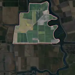
 USGS aerial imagery of Palm-Orwood Tract, with Palm Tract highlighted | |
 Palm Tract  Palm Tract  Palm Tract | |
| Geography | |
|---|---|
| Location | Northern California |
| Coordinates | 37°57′14″N 121°35′22″W / 37.95389°N 121.58944°W[1] |
| Adjacent to | Sacramento–San Joaquin River Delta |
| Highest elevation | 10 ft (3 m)[1] |
| Administration | |
United States | |
| State | |
| County | Contra Costa |

United States Geological Survey map of Palm and Orwood Tracts in 1913.[2]
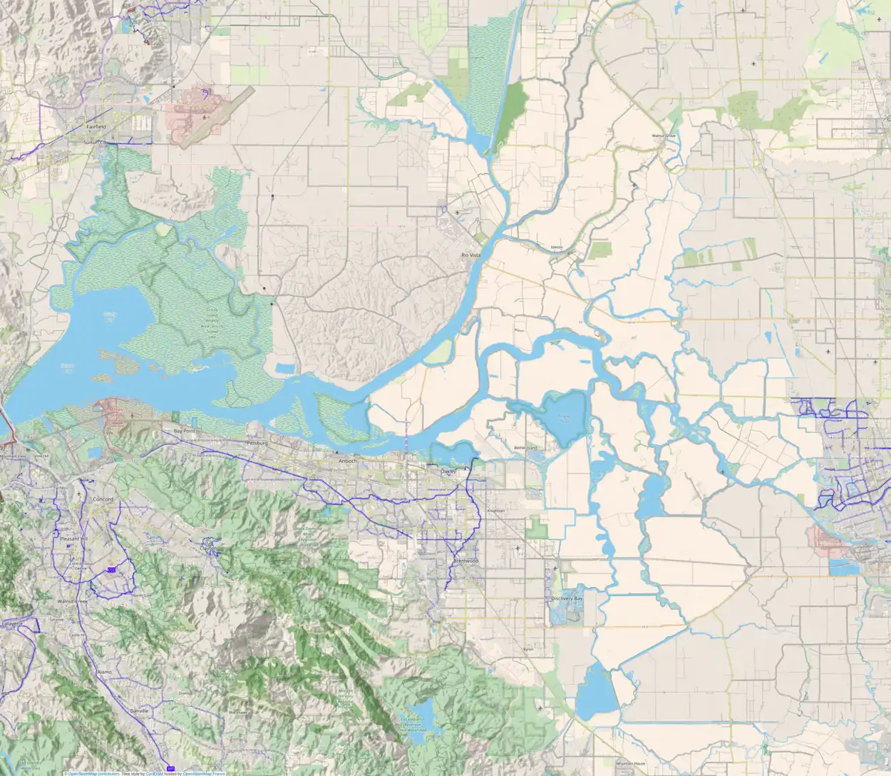
The Palm Tract is an island in the Sacramento–San Joaquin River Delta.[3][4][5][6][7][8][9][10][11][12][13][14][15][16][17][18][19][20][21] It is part of Contra Costa County, California. It, along with Orwood Tract to the south, are managed by Reclamation District 2024 (Orwood and Palm Tracts).[22] Its coordinates are 37°57′14″N 121°35′22″W / 37.95389°N 121.58944°W[1], and the United States Geological Survey measured its elevation as 10 ft (3.0 m) in 1981.[1] It appears on 1913 and 1952 United States Geological Survey maps of the area.[2][23]
References
- 1 2 3 4 U.S. Geological Survey Geographic Names Information System: Palm Tract
- 1 2 Marshall, R.B.; Gerdine, T.G.; Hannegan, Duncan; Lewis, J.L. (1913). "Topography, State of California: Woodward Island Quadrangle". United States Geological Survey. Archived from the original on 5 April 2020. Retrieved 25 February 2021.
- ↑ California State Automobile Association (2007). Coast and Valley: Bay Area to Southern California (Map). 1:560,000. American Automobile Association.
- ↑ California State Automobile Association (1999). San Francisco Bay Region (Map). 1:190,000. American Automobile Association.
- ↑ "The produce market". The Evening Mail. Stockton, California. 1904-04-05. p. 5.
- ↑ "California Transportation Company". Contra Costa Gazette. Martinez, California. 1905-02-11. p. 3.
- ↑ "Palm Tract Flooded". Stockton Daily Evening Record. Stockton, California. 1907-03-23. p. 6.
- ↑ "Reported Safe". The Evening Mail. Stockton, California. 1907-03-26. p. 1.
- ↑ "Other Tracts In Danger". The Evening Mail. Stockton, California. 1907-03-27. p. 1.
- ↑ "Delta Lands at Stockton Afloat". The San Bernardino County Sun. San Bernardino, California. 1907-03-28. p. 1.
- ↑ "Rindge Levees Break". The Los Angeles Times. Los Angeles, California. 1907-03-28. p. 3.
- ↑ "Stockton Takes Steps to Curb Flood Waters". The San Francisco Call. San Francisco, California. 1907-04-04. p. 5.
- ↑ "Chinese Shooting Scrape On The Palm Tract". Daily Gazette-Martinez. Martinez, California. 1908-12-30. p. 1.
- ↑ "Crop Conditions In Reclaimed Lands". The Evening Mail. Stockton, California. 1908-06-06. p. 2.
- ↑ "In the Matter of the Petition of California Delta Farrms Inc. for the formation of Delta Farms Reclamation District (Orwood Tract)". Daily Gazette-Martinez. Martinez, California. 1918-04-01. p. 3.
- ↑ "New Crossing Authorized". Daily Gazette-Martinez. Martinez, California. 1919-05-28. p. 1.
- ↑ "No Clue To Jap Murder". Daily Gazette-Martinez. Martinez, California. 1920-04-12. p. 1.
- ↑ "Agriculture Adjusts to Meet Changes". Oakland Tribune. Oakland, California. 1960-10-16. p. 46.
- ↑ "Delta". Oakland Tribune. Oakland, California. 1980-01-21. p. 12.
- ↑ "Domino-effect floods may mean Delta disaster". Oakland Tribune. Oakland, California. 1980-01-27. p. 17.
- ↑ "Domino-effect floods may mean Delta disaster". Oakland Tribune. Oakland, California. 1980-01-27. p. 19.
- ↑ "Countywide Reclamation Services: Municipal Service Review/Sphere of Influence Update (2nd Round) – FINAL" (PDF). Contra Costa Local Agency Formation Commission. 18 November 2015. Archived (PDF) from the original on 1 March 2017. Retrieved 23 February 2021.
- ↑ United States Geological Survey (1952). "Woodward Island Quadrangle, California" (Map). United States Department of the Interior Geological Survey. 1:24000.
This article is issued from Wikipedia. The text is licensed under Creative Commons - Attribution - Sharealike. Additional terms may apply for the media files.
