Laye | |
|---|---|
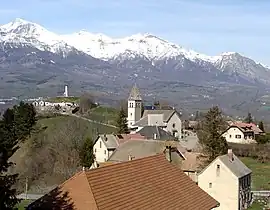 The church and the surrounding buildings in Laye | |
 Coat of arms | |
Location of Laye | |
 Laye 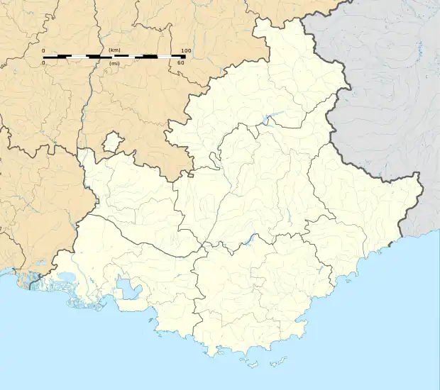 Laye | |
| Coordinates: 44°39′43″N 6°05′06″E / 44.6619°N 6.085°E | |
| Country | France |
| Region | Provence-Alpes-Côte d'Azur |
| Department | Hautes-Alpes |
| Arrondissement | Gap |
| Canton | Saint-Bonnet-en-Champsaur |
| Government | |
| • Mayor (2020–2026) | Anne Marie Antoinette Noulin[1] |
| Area 1 | 10.55 km2 (4.07 sq mi) |
| Population | 243 |
| • Density | 23/km2 (60/sq mi) |
| Time zone | UTC+01:00 (CET) |
| • Summer (DST) | UTC+02:00 (CEST) |
| INSEE/Postal code | 05072 /05500 |
| Elevation | 976–2,158 m (3,202–7,080 ft) (avg. 1,200 m or 3,900 ft) |
| 1 French Land Register data, which excludes lakes, ponds, glaciers > 1 km2 (0.386 sq mi or 247 acres) and river estuaries. | |
Laye is a commune in the Hautes-Alpes department in southeastern France.
Population
| Year | Pop. | ±% |
|---|---|---|
| 1962 | 125 | — |
| 1968 | 155 | +24.0% |
| 1975 | 137 | −11.6% |
| 1982 | 163 | +19.0% |
| 1990 | 192 | +17.8% |
| 1999 | 212 | +10.4% |
| 2008 | 231 | +9.0% |
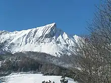
Pic de l'Aiguille
See also
References
- ↑ "Répertoire national des élus: les maires". data.gouv.fr, Plateforme ouverte des données publiques françaises (in French). 2 December 2020.
- ↑ "Populations légales 2021". The National Institute of Statistics and Economic Studies. 28 December 2023.
Wikimedia Commons has media related to Laye.
This article is issued from Wikipedia. The text is licensed under Creative Commons - Attribution - Sharealike. Additional terms may apply for the media files.