Saint-Clément-sur-Durance | |
|---|---|
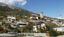 The village of Saint-Clément-sur-Durance | |
 Coat of arms | |
Location of Saint-Clément-sur-Durance | |
 Saint-Clément-sur-Durance 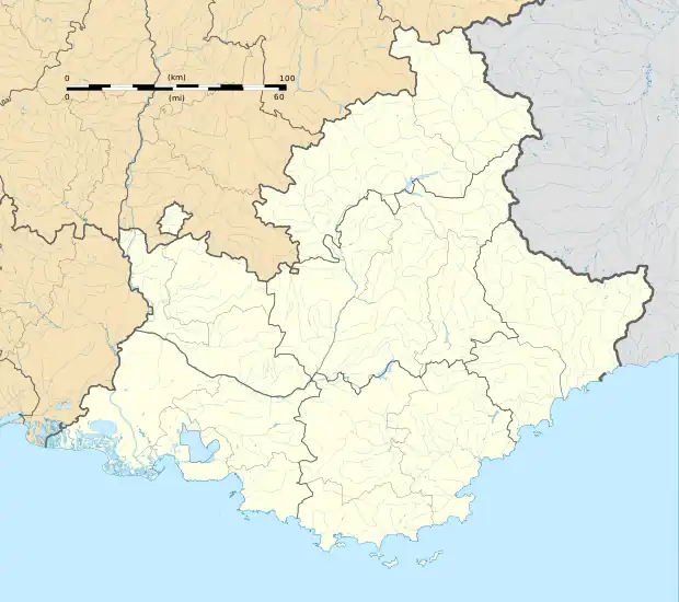 Saint-Clément-sur-Durance | |
| Coordinates: 44°38′59″N 6°34′45″E / 44.6497°N 6.5792°E | |
| Country | France |
| Region | Provence-Alpes-Côte d'Azur |
| Department | Hautes-Alpes |
| Arrondissement | Briançon |
| Canton | Guillestre |
| Government | |
| • Mayor (2020–2026) | Jean-Louis Berard[1] |
| Area 1 | 25.06 km2 (9.68 sq mi) |
| Population | 322 |
| • Density | 13/km2 (33/sq mi) |
| Time zone | UTC+01:00 (CET) |
| • Summer (DST) | UTC+02:00 (CEST) |
| INSEE/Postal code | 05134 /05600 |
| Elevation | 858–2,836 m (2,815–9,304 ft) (avg. 872 m or 2,861 ft) |
| 1 French Land Register data, which excludes lakes, ponds, glaciers > 1 km2 (0.386 sq mi or 247 acres) and river estuaries. | |
Saint-Clément-sur-Durance (French pronunciation: [sɛ̃ klemɑ̃ syʁ dyʁɑ̃s], literally Saint-Clément on Durance; Vivaro-Alpine: Sant Clamenç sus Durença) is a commune in the Hautes-Alpes department in southeastern France.
Population
| Year | Pop. | ±% |
|---|---|---|
| 1962 | 189 | — |
| 1968 | 227 | +20.1% |
| 1975 | 195 | −14.1% |
| 1982 | 205 | +5.1% |
| 1990 | 191 | −6.8% |
| 1999 | 229 | +19.9% |
| 2008 | 276 | +20.5% |
See also
References
- ↑ "Répertoire national des élus: les maires". data.gouv.fr, Plateforme ouverte des données publiques françaises (in French). 2 December 2020.
- ↑ "Populations légales 2021". The National Institute of Statistics and Economic Studies. 28 December 2023.
Wikimedia Commons has media related to Saint-Clément-sur-Durance.
This article is issued from Wikipedia. The text is licensed under Creative Commons - Attribution - Sharealike. Additional terms may apply for the media files.