Montrond | |
|---|---|
 The Montagne de Chabre, seen from the RN75 road, in the area of Montrond | |
.svg.png.webp) Coat of arms | |
Location of Montrond | |
 Montrond 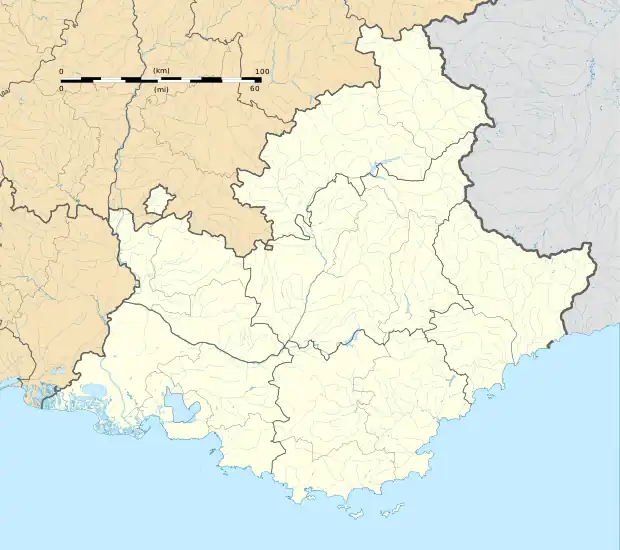 Montrond | |
| Coordinates: 44°22′57″N 5°44′29″E / 44.3825°N 5.7414°E | |
| Country | France |
| Region | Provence-Alpes-Côte d'Azur |
| Department | Hautes-Alpes |
| Arrondissement | Gap |
| Canton | Serres |
| Government | |
| • Mayor (2020–2026) | Alain Roumieu[1] |
| Area 1 | 4.46 km2 (1.72 sq mi) |
| Population | 90 |
| • Density | 20/km2 (52/sq mi) |
| Time zone | UTC+01:00 (CET) |
| • Summer (DST) | UTC+02:00 (CEST) |
| INSEE/Postal code | 05089 /05700 |
| Elevation | 605–822 m (1,985–2,697 ft) (avg. 625 m or 2,051 ft) |
| 1 French Land Register data, which excludes lakes, ponds, glaciers > 1 km2 (0.386 sq mi or 247 acres) and river estuaries. | |
Montrond is a commune in the Hautes-Alpes department in southeastern France.
Population
| Year | Pop. | ±% |
|---|---|---|
| 1962 | 44 | — |
| 1968 | 49 | +11.4% |
| 1975 | 52 | +6.1% |
| 1982 | 47 | −9.6% |
| 1990 | 53 | +12.8% |
| 1999 | 39 | −26.4% |
| 2008 | 51 | +30.8% |
See also
References
- ↑ "Répertoire national des élus: les maires". data.gouv.fr, Plateforme ouverte des données publiques françaises (in French). 2 December 2020.
- ↑ "Populations légales 2021". The National Institute of Statistics and Economic Studies. 28 December 2023.
Wikimedia Commons has media related to Montrond, Hautes-Alpes.
This article is issued from Wikipedia. The text is licensed under Creative Commons - Attribution - Sharealike. Additional terms may apply for the media files.