Saint-Apollinaire | |
|---|---|
.jpg.webp) A general view of Saint-Apollinaire with the church and surrounding buildings | |
.svg.png.webp) Coat of arms | |
Location of Saint-Apollinaire | |
 Saint-Apollinaire 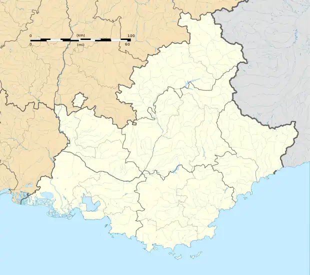 Saint-Apollinaire | |
| Coordinates: 44°33′25″N 6°21′47″E / 44.5569°N 6.3631°E | |
| Country | France |
| Region | Provence-Alpes-Côte d'Azur |
| Department | Hautes-Alpes |
| Arrondissement | Gap |
| Canton | Chorges |
| Government | |
| • Mayor (2020–2026) | Daniel Nicolas Aimé Bey[1] |
| Area 1 | 7.54 km2 (2.91 sq mi) |
| Population | 201 |
| • Density | 27/km2 (69/sq mi) |
| Time zone | UTC+01:00 (CET) |
| • Summer (DST) | UTC+02:00 (CEST) |
| INSEE/Postal code | 05130 /05160 |
| Elevation | 858–2,120 m (2,815–6,955 ft) (avg. 1,200 m or 3,900 ft) |
| 1 French Land Register data, which excludes lakes, ponds, glaciers > 1 km2 (0.386 sq mi or 247 acres) and river estuaries. | |
Saint-Apollinaire (French pronunciation: [sɛ̃.t‿apɔlinɛʁ]; Vivaro-Alpine: Sant Apolinari) is a commune in the Hautes-Alpes department in southeastern France.
Population
| Year | Pop. | ±% |
|---|---|---|
| 1962 | 59 | — |
| 1968 | 63 | +6.8% |
| 1975 | 71 | +12.7% |
| 1982 | 63 | −11.3% |
| 1990 | 99 | +57.1% |
| 1999 | 106 | +7.1% |
| 2008 | 113 | +6.6% |
See also
References
- ↑ "Répertoire national des élus: les maires". data.gouv.fr, Plateforme ouverte des données publiques françaises (in French). 2 December 2020.
- ↑ "Populations légales 2021". The National Institute of Statistics and Economic Studies. 28 December 2023.
Wikimedia Commons has media related to Saint-Apollinaire, Hautes-Alpes.
This article is issued from Wikipedia. The text is licensed under Creative Commons - Attribution - Sharealike. Additional terms may apply for the media files.