Thénouville | |
|---|---|
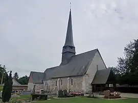 The church in Bosc-Renoult-en-Roumois | |
Location of Thénouville | |
 Thénouville  Thénouville | |
| Coordinates: 49°17′42″N 0°46′37″E / 49.295°N 0.777°E | |
| Country | France |
| Region | Normandy |
| Department | Eure |
| Arrondissement | Bernay |
| Canton | Grand Bourgtheroulde |
| Intercommunality | Roumois Seine |
| Government | |
| • Mayor (2020–2026) | Laurent Debeerst[1] |
| Area 1 | 13.19 km2 (5.09 sq mi) |
| Population | 1,009 |
| • Density | 76/km2 (200/sq mi) |
| Time zone | UTC+01:00 (CET) |
| • Summer (DST) | UTC+02:00 (CEST) |
| INSEE/Postal code | 27089 /27520 |
| 1 French Land Register data, which excludes lakes, ponds, glaciers > 1 km2 (0.386 sq mi or 247 acres) and river estuaries. | |
Thénouville (French pronunciation: [tenuvil]) is a commune in the department of Eure, northern France. The municipality was established on 1 January 2017 by merger of the former communes of Bosc-Renoult-en-Roumois (the seat) and Theillement.[3] On 1 January 2018, the former commune of Touville was merged into Thénouville.[4]
See also
References
Wikimedia Commons has media related to Thénouville.
- ↑ "Répertoire national des élus: les maires" (in French). data.gouv.fr, Plateforme ouverte des données publiques françaises. 13 September 2022.
- ↑ "Populations légales 2021". The National Institute of Statistics and Economic Studies. 28 December 2023.
- ↑ Arrêté préfectoral 3 August 2016 (in French)
- ↑ Arrêté préfectoral 21 September 2017 (in French)
This article is issued from Wikipedia. The text is licensed under Creative Commons - Attribution - Sharealike. Additional terms may apply for the media files.