Arsin | |
|---|---|
District and municipality | |
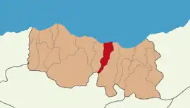 Map showing Arsin District in Trabzon Province | |
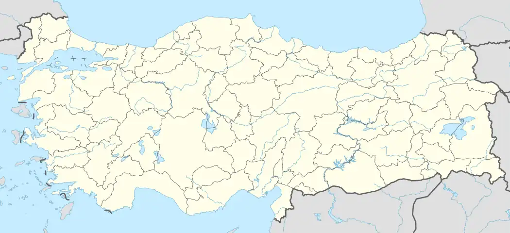 Arsin Location in Turkey | |
| Coordinates: 40°57′N 39°56′E / 40.950°N 39.933°E | |
| Country | Turkey |
| Province | Trabzon |
| Government | |
| • Mayor | Muhammet Sait Gürsoy (AKP) |
| Area | 157 km2 (61 sq mi) |
| Population (2022)[1] | 30,911 |
| • Density | 200/km2 (510/sq mi) |
| Time zone | TRT (UTC+3) |
| Area code | 0462 |
| Climate | Cfa |
| Website | www |
Arsin is a municipality and district of Trabzon Province, Turkey.[2] Its area is 157 km2,[3] and its population is 30,911 (2022).[1] It is on the Black Sea coast, east of the city of Trabzon. The mayor is Muhammet Sait Gürsoy, a member of AKP.
Composition
There are 36 neighbourhoods in Arsin District:[4]
- Atayurt
- Başdurak
- Çardaklı
- Çiçekli
- Çubuklu
- Cudibey
- Cumhuriyet
- Dilek
- Elmaalan
- Fatih
- Fındıklı
- Gölcük
- Gölgelik
- Güneyce
- Güzelyalı
- Harmanlı
- İşhan
- Işıklı
- Karaca
- Konak
- Kuzguncuk
- Nuroğlu
- Oğuz
- Örnek
- Özlü
- Şankaya
- Üçpınar
- Yalı
- Yeniköy
- Yenimahalle
- Yeşilce
- Yeşilköy
- Yeşiltepe
- Yeşilyalı
- Yolaç
- Yolüstü
References
- 1 2 "Address-based population registration system (ADNKS) results dated 31 December 2022, Favorite Reports" (XLS). TÜİK. Retrieved 19 September 2023.
- ↑ Büyükşehir İlçe Belediyesi, Turkey Civil Administration Departments Inventory. Retrieved 19 September 2023.
- ↑ "İl ve İlçe Yüz ölçümleri". General Directorate of Mapping. Retrieved 19 September 2023.
- ↑ Mahalle, Turkey Civil Administration Departments Inventory. Retrieved 19 September 2023.
External links
Arsin, Turkey in Trabzon Province of Turkey | |||||||||||||||||||||||||||
|---|---|---|---|---|---|---|---|---|---|---|---|---|---|---|---|---|---|---|---|---|---|---|---|---|---|---|---|
| Districts | 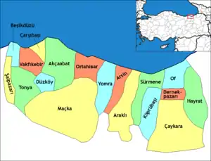 Districts of Trabzon | ||||||||||||||||||||||||||
| |||||||||||||||||||||||||||
Metropolitan municipalities are bolded. | |||||||||||||||||||||||||||
This article is issued from Wikipedia. The text is licensed under Creative Commons - Attribution - Sharealike. Additional terms may apply for the media files.