Canet | |
|---|---|
_clocher_St-Martin.JPG.webp) Church tower of St-Martin | |
.svg.png.webp) Coat of arms | |
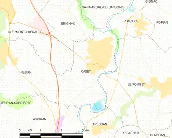
Location of Canet | |
 Canet  Canet | |
| Coordinates: 43°36′06″N 3°29′26″E / 43.6017°N 3.4906°E | |
| Country | France |
| Region | Occitania |
| Department | Hérault |
| Arrondissement | Lodève |
| Canton | Clermont-l'Hérault |
| Intercommunality | Clermontais |
| Government | |
| • Mayor (2020–2026) | Claude Revel[1] |
| Area 1 | 7.32 km2 (2.83 sq mi) |
| Population | 3,570 |
| • Density | 490/km2 (1,300/sq mi) |
| Time zone | UTC+01:00 (CET) |
| • Summer (DST) | UTC+02:00 (CEST) |
| INSEE/Postal code | 34051 /34800 |
| Elevation | 23–57 m (75–187 ft) (avg. 32 m or 105 ft) |
| 1 French Land Register data, which excludes lakes, ponds, glaciers > 1 km2 (0.386 sq mi or 247 acres) and river estuaries. | |
Canet (French pronunciation: [kanɛ] ⓘ) is a commune in the Hérault department in southern France.
Map
Population
| Year | Pop. | ±% p.a. |
|---|---|---|
| 1968 | 1,022 | — |
| 1975 | 1,061 | +0.54% |
| 1982 | 1,206 | +1.85% |
| 1990 | 1,402 | +1.90% |
| 1999 | 1,598 | +1.46% |
| 2007 | 3,039 | +8.37% |
| 2012 | 3,413 | +2.35% |
| 2017 | 3,503 | +0.52% |
| Source: INSEE[3] | ||
See also
References
- ↑ "Répertoire national des élus: les maires". data.gouv.fr, Plateforme ouverte des données publiques françaises (in French). 2 December 2020.
- ↑ "Populations légales 2021". The National Institute of Statistics and Economic Studies. 28 December 2023.
- ↑ Population en historique depuis 1968, INSEE
Wikimedia Commons has media related to Canet (Hérault).
This article is issued from Wikipedia. The text is licensed under Creative Commons - Attribution - Sharealike. Additional terms may apply for the media files.