Rieussec | |
|---|---|
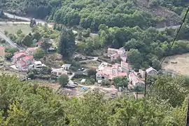 Rieussec seen from the hillside | |
 Coat of arms | |
Location of Rieussec | |
 Rieussec  Rieussec | |
| Coordinates: 43°25′05″N 2°44′24″E / 43.4181°N 2.74°E | |
| Country | France |
| Region | Occitania |
| Department | Hérault |
| Arrondissement | Béziers |
| Canton | Saint-Pons-de-Thomières |
| Government | |
| • Mayor (2020–2026) | Alain Mouly[1] |
| Area 1 | 22.2 km2 (8.6 sq mi) |
| Population | 82 |
| • Density | 3.7/km2 (9.6/sq mi) |
| Time zone | UTC+01:00 (CET) |
| • Summer (DST) | UTC+02:00 (CEST) |
| INSEE/Postal code | 34228 /34220 |
| Elevation | 314–860 m (1,030–2,822 ft) (avg. 490 m or 1,610 ft) |
| 1 French Land Register data, which excludes lakes, ponds, glaciers > 1 km2 (0.386 sq mi or 247 acres) and river estuaries. | |
Rieussec (French pronunciation: [ʁjøsɛk]; Occitan: Riu Sec, meaning dry river) is a commune in the Hérault department in the Occitanie region in southern France.
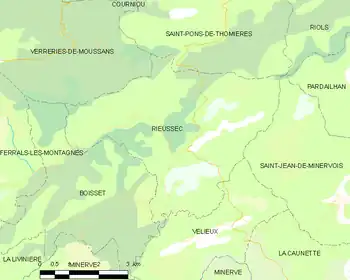
Map
Population
| Year | Pop. | ±% p.a. |
|---|---|---|
| 1968 | 70 | — |
| 1975 | 62 | −1.72% |
| 1982 | 71 | +1.96% |
| 1990 | 54 | −3.36% |
| 1999 | 76 | +3.87% |
| 2007 | 96 | +2.96% |
| 2012 | 91 | −1.06% |
| 2017 | 66 | −6.22% |
| Source: INSEE[3] | ||
Geography
The Thoré has its source in the northern part of the commune.
See also
References
- ↑ "Répertoire national des élus: les maires". data.gouv.fr, Plateforme ouverte des données publiques françaises (in French). 2 December 2020.
- ↑ "Populations légales 2021". The National Institute of Statistics and Economic Studies. 28 December 2023.
- ↑ Population en historique depuis 1968, INSEE
Wikimedia Commons has media related to Rieussec.
This article is issued from Wikipedia. The text is licensed under Creative Commons - Attribution - Sharealike. Additional terms may apply for the media files.