Chitna Airport | |||||||||||
|---|---|---|---|---|---|---|---|---|---|---|---|
| Summary | |||||||||||
| Airport type | Public/civil | ||||||||||
| Location | Chitina, Alaska | ||||||||||
| Opened | January 7, 1962 | ||||||||||
| Elevation AMSL | 556 ft / 169 m | ||||||||||
| Coordinates | 61°34′58″N 144°25′41″W / 61.58278°N 144.42806°W | ||||||||||
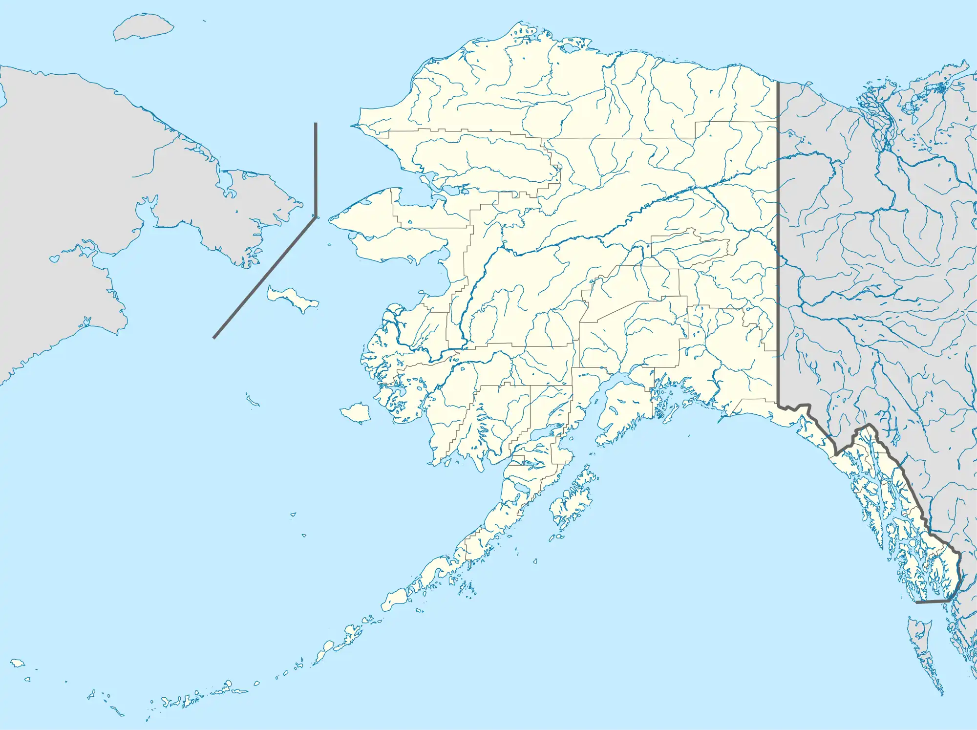
| Map | |||||||||||
 CXC | |||||||||||
| Runways | |||||||||||
| |||||||||||
Chitina Airport (IATA: CXC, FAA LID: CXC) is a public/civil-use airport located 4 mi (6.4 km) north of Chitina, Alaska, United States.[1]
Although most U.S. airports use the same three-letter location identifier for the FAA, ICAO and IATA, Chitina Airport is assigned CXC by the FAA and IATA but has no designation from the ICAO.[2]
Facilities
Chitina Airport covers an area of 0 acres (0 ha) which contains one asphalt paved runway (13/31) measuring 2,850 ft × 75 ft (869 m × 23 m).[1] For the 12-month period ending December 31, 2019, the airport had 1,750 aircraft operations. At that time, there was one aircraft based at this airport, a single-engine.[1]
Airlines and destinations
| Airlines | Destinations |
|---|---|
| Wrangell Mountain Air | McCarthy[3] |
See also
References
- 1 2 3 4 FAA Airport Form 5010 for CXC PDF, effective 2007-07-05
- ↑ Great Circle Mapper: CXC - Chitina, Alaska
- ↑ Wrangell Mountain Air Schedule Retrieved Sep 16, 2022
External links
- Resources for this airport:
- FAA airport information for CXC
- AirNav airport information for CXC
- FlightAware airport information and live flight tracker
- SkyVector aeronautical chart for CXC
This article is issued from Wikipedia. The text is licensed under Creative Commons - Attribution - Sharealike. Additional terms may apply for the media files.