Barcugnan | |
|---|---|
Location of Barcugnan | |
 Barcugnan  Barcugnan | |
| Coordinates: 43°22′47″N 0°24′25″E / 43.3797°N 0.4069°E | |
| Country | France |
| Region | Occitania |
| Department | Gers |
| Arrondissement | Mirande |
| Canton | Mirande-Astarac |
| Intercommunality | Astarac Arros en Gascogne |
| Government | |
| • Mayor (2020–2026) | Olivier Vendome[1] |
| Area 1 | 9.11 km2 (3.52 sq mi) |
| Population | 105 |
| • Density | 12/km2 (30/sq mi) |
| Time zone | UTC+01:00 (CET) |
| • Summer (DST) | UTC+02:00 (CEST) |
| INSEE/Postal code | 32028 /32170 |
| Elevation | 190–311 m (623–1,020 ft) |
| 1 French Land Register data, which excludes lakes, ponds, glaciers > 1 km2 (0.386 sq mi or 247 acres) and river estuaries. | |
Barcugnan (French pronunciation: [baʁkyɲɑ̃]; Occitan: Barcunhan) is a commune in the Gers department in southwestern France.
Geography
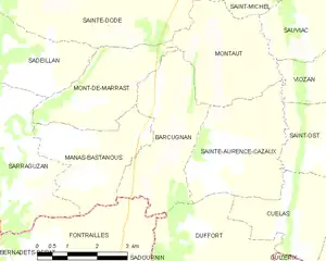
Barcugnan and its surrounding communes
Population
| Year | Pop. | ±% p.a. |
|---|---|---|
| 1968 | 228 | — |
| 1975 | 192 | −2.43% |
| 1982 | 169 | −1.81% |
| 1990 | 164 | −0.37% |
| 1999 | 143 | −1.51% |
| 2009 | 130 | −0.95% |
| 2014 | 110 | −3.29% |
| 2020 | 104 | −0.93% |
| Source: INSEE[3] | ||
See also
References
- ↑ "Répertoire national des élus: les maires" (in French). data.gouv.fr, Plateforme ouverte des données publiques françaises. 13 September 2022.
- ↑ "Populations légales 2021". The National Institute of Statistics and Economic Studies. 28 December 2023.
- ↑ Population en historique depuis 1968, INSEE
Wikimedia Commons has media related to Barcugnan.
This article is issued from Wikipedia. The text is licensed under Creative Commons - Attribution - Sharealike. Additional terms may apply for the media files.