Camoël
Kamoel | |
|---|---|
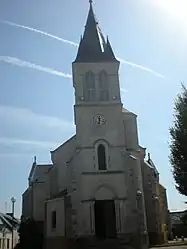 The church in Camoël | |
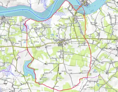
Location of Camoël | |
 Camoël  Camoël | |
| Coordinates: 47°28′58″N 2°23′36″W / 47.4828°N 2.3933°W | |
| Country | France |
| Region | Brittany |
| Department | Morbihan |
| Arrondissement | Vannes |
| Canton | Muzillac |
| Intercommunality | CA Presqu'île de Guérande Atlantique |
| Government | |
| • Mayor (2020–2026) | Bernard Le Guen[1] |
| Area 1 | 14.33 km2 (5.53 sq mi) |
| Population | 1,122 |
| • Density | 78/km2 (200/sq mi) |
| Time zone | UTC+01:00 (CET) |
| • Summer (DST) | UTC+02:00 (CEST) |
| INSEE/Postal code | 56030 /56130 |
| Elevation | 0–44 m (0–144 ft) |
| 1 French Land Register data, which excludes lakes, ponds, glaciers > 1 km2 (0.386 sq mi or 247 acres) and river estuaries. | |
Camoël (French pronunciation: [kamwɛl]; Breton: Kamoel) is a commune in the Morbihan department of Brittany in north-western France.[3]
Demographics
Inhabitants of Camoël are called in French Camoëlais.
Geography
Camoël is located in Guérande Peninsula, on the left bank of the mouth of the Vilaine river, 34 km (21 mi) southeast of Vannes . Historically it belongs to Lower Brittany. Until the 18th century, the spoken language was the breton. Most hamlets have breton names.
Map
See also
References
- ↑ "Maires du Morbihan" (PDF). Préfecture du Morbihan. 7 July 2020.
- ↑ "Populations légales 2021". The National Institute of Statistics and Economic Studies. 28 December 2023.
- ↑ INSEE commune file
External links
- Mayors of Morbihan Association (in French)
Wikimedia Commons has media related to Camoël.
This article is issued from Wikipedia. The text is licensed under Creative Commons - Attribution - Sharealike. Additional terms may apply for the media files.