| Åbjørvatnet (Norwegian) Diedtjienjaevrie (Southern Sami) | |
|---|---|
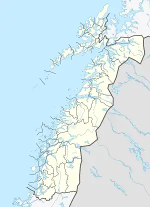 Åbjørvatnet Location of the lake Show map of Nordland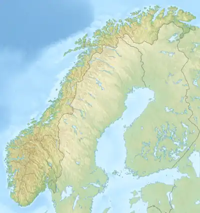 Åbjørvatnet Åbjørvatnet (Norway) Show map of Norway | |
| Location | Bindal, Nordland |
| Coordinates | 65°01′15″N 12°40′42″E / 65.0208°N 12.6782°E / 65.0208; 12.6782 |
| Primary inflows | Åbjøra river |
| Primary outflows | Åbjøra river |
| Basin countries | Norway |
| Max. length | 4.7 kilometres (2.9 mi) |
| Max. width | 1.5 kilometres (0.93 mi) |
| Surface area | 4.54 km2 (1.75 sq mi) |
| Shore length1 | 18.92 kilometres (11.76 mi) |
| Surface elevation | 81 metres (266 ft) |
| References | NVE |
| 1 Shore length is not a well-defined measure. | |
Åbjørvatnet (Norwegian) or Diedtjienjaevrie (Southern Sami) is a lake that lies in the southeastern part of the municipality of Bindal in Nordland county, Norway. The lake is part of the river Åbjøra, about 8 kilometres (5.0 mi) east of the village of Åbygda.[1]
See also
References
- ↑ Store norske leksikon. "Åbjøra – Bindal" (in Norwegian). Retrieved 2011-10-31.
This article is issued from Wikipedia. The text is licensed under Creative Commons - Attribution - Sharealike. Additional terms may apply for the media files.