| Blerekvatnet | |
|---|---|
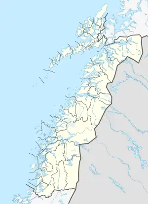 Blerekvatnet Location of the lake Show map of Nordland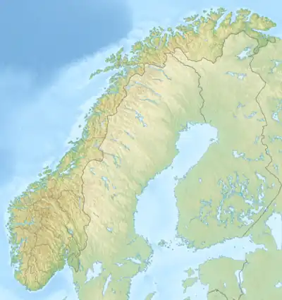 Blerekvatnet Blerekvatnet (Norway) Show map of Norway | |
| Location | Rana, Nordland |
| Coordinates | 66°19′53″N 15°03′57″E / 66.3313°N 15.0659°E / 66.3313; 15.0659 |
| Basin countries | Norway |
| Max. length | 3.8 kilometres (2.4 mi) |
| Max. width | 2 kilometres (1.2 mi) |
| Surface area | 2.61 km2 (1.01 sq mi) |
| Shore length1 | 31.41 kilometres (19.52 mi) |
| Surface elevation | 681 metres (2,234 ft) |
| References | NVE |
| 1 Shore length is not a well-defined measure. | |
Blerekvatnet is a lake in the municipality of Rana in Nordland county, Norway. It lies at the northern base of the mountain Junkerfjellet, about 40 kilometres (25 mi) straight east of the town of Mo i Rana.[1]
See also
References
- ↑ "Blerekvatnet" (in Norwegian). yr.no. Retrieved 2011-12-19.
This article is issued from Wikipedia. The text is licensed under Creative Commons - Attribution - Sharealike. Additional terms may apply for the media files.