| Inner-Sildvikvatnet (Norwegian) | |
|---|---|
| Ruoidnajávri (Northern Sami) | |
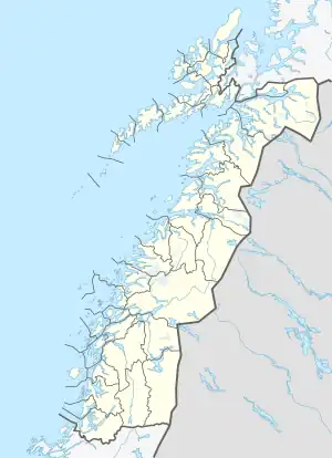 Inner-Sildvikvatnet Location of the lake Show map of Nordland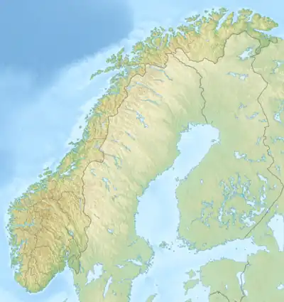 Inner-Sildvikvatnet Inner-Sildvikvatnet (Norway) Show map of Norway | |
| Location | Nordland |
| Coordinates | 68°21′56″N 17°51′49″E / 68.3655°N 17.8636°E / 68.3655; 17.8636 |
| Basin countries | Norway |
| Max. length | 3.3 kilometres (2.1 mi) |
| Max. width | 800 metres (2,600 ft) |
| Surface area | 2.29 km2 (0.88 sq mi) |
| Shore length1 | 8.11 kilometres (5.04 mi) |
| Surface elevation | 654 metres (2,146 ft) |
| References | NVE |
| 1 Shore length is not a well-defined measure. | |
Inner-Sildvikvatnet (Norwegian) or Ruoidnajávri (Northern Sami) (or unofficially: Indre Sildvikvatnet)[1] is a lake in Narvik Municipality in Nordland county, Norway. The 2.29-square-kilometre (0.88 sq mi) lake lies south of the Rombaken fjord. The lake has a dam on the northern end and the water is used for hydroelectric power production.[2]
See also
References
- ↑ "Stadnamn og skrivemåten for stadnamn" (in Norwegian). Kartverket. Retrieved 2019-01-06.
- ↑ Store norske leksikon. "Sildvikvatnet" (in Norwegian). Retrieved 2012-05-25.
This article is issued from Wikipedia. The text is licensed under Creative Commons - Attribution - Sharealike. Additional terms may apply for the media files.