| Byavatnet | |
|---|---|
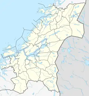 Byavatnet Location of the lake Show map of Trøndelag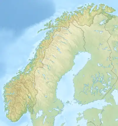 Byavatnet Byavatnet (Norway) Show map of Norway | |
| Location | Levanger, Trøndelag |
| Coordinates | 63°39′50″N 11°01′13″E / 63.6639°N 11.0202°E / 63.6639; 11.0202 |
| Basin countries | Norway |
| Max. length | 5 kilometres (3.1 mi) |
| Max. width | 800 metres (2,600 ft) |
| Surface area | 2.31 km2 (0.89 sq mi) |
| Shore length1 | 14 kilometres (8.7 mi) |
| Surface elevation | 41 metres (135 ft) |
| References | NVE |
| 1 Shore length is not a well-defined measure. | |
Byavatnet is a lake in the municipality of Levanger in Trøndelag county, Norway. It is located about 2.5 kilometres (1.6 mi) south of the village of Ekne and about 3 kilometres (1.9 mi) west of the village of Ronglan. The lake Hammervatnet lies about 3.5 kilometres (2.2 mi) south of Byavatnet and the lake Sønningen lies about 1.5 kilometres (0.93 mi) to the northwest.[1] The 2.31-square-kilometre (570-acre) lake is about 5 kilometres (3.1 mi) long and about 800 metres (0.5 mi) wide.
See also
References
- ↑ "Byavatnet, Levanger (Trøndelag)" (in Norwegian). yr.no. Retrieved 2011-05-24.
This article is issued from Wikipedia. The text is licensed under Creative Commons - Attribution - Sharealike. Additional terms may apply for the media files.