| Stuorajávri | |
|---|---|
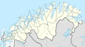 Stuorajávri Location of the lake Show map of Troms og Finnmark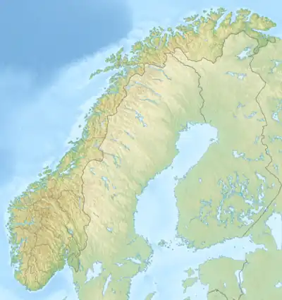 Stuorajávri Stuorajávri (Norway) Show map of Norway | |
| Location | Alta, Troms og Finnmark |
| Coordinates | 69°46′50″N 23°48′45″E / 69.7805°N 23.8126°E / 69.7805; 23.8126 |
| Basin countries | Norway |
| Max. length | 5 kilometres (3.1 mi) |
| Max. width | 1 kilometre (0.62 mi) |
| Surface area | 3.58 km2 (1.38 sq mi) |
| Shore length1 | 12.15 kilometres (7.55 mi) |
| Surface elevation | 383 metres (1,257 ft) |
| References | NVE |
| 1 Shore length is not a well-defined measure. | |
Stuorajávri is a lake in Alta Municipality in Troms og Finnmark county, Norway. The 3.58-square-kilometre (1.38 sq mi) lake lies about 3.5 kilometres (2.2 mi) northeast of the Sautso canyon, along the Altaelva river, into which this lake eventually flows.[1]
See also
References
- ↑ "Stuorajávri" (in Norwegian). yr.no. Retrieved 2013-01-14.
This article is issued from Wikipedia. The text is licensed under Creative Commons - Attribution - Sharealike. Additional terms may apply for the media files.