| Øvre Leirungen | |
|---|---|
 Øvre Leirungen is the lake in front, Gjende is in the back. | |
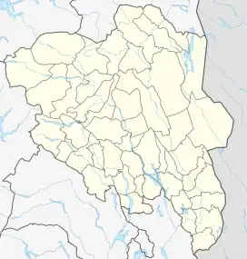
 Øvre Leirungen Location of the lake Show map of Innlandet Øvre Leirungen Øvre Leirungen (Norway) Show map of Norway | |
| Location | Vågå Municipality, Innlandet |
| Coordinates | 61°4′8″N 08°7′7″E / 61.06889°N 8.11861°E / 61.06889; 8.11861 |
| Basin countries | Norway |
| Max. length | 350 metres (1,150 ft) |
| Max. width | 280 metres (920 ft) |
| Surface area | 0.5728 km2 (0.2212 sq mi) |
| References | NVE[1] |
Øvre Leirungen is a lake in Vågå Municipality in Innlandet county, Norway. It is located in the Jotunheimen mountain range and also inside Jotunheimen National Park.[2] The lake is located between Gjende lake and Leirungåse river.[3] The lake Bukkehåmårtjønne lies just south of this lake.
See also
References
- ↑ "Innsjødatabase". nve.no (in Norwegian). Retrieved 29 May 2022.
- ↑ "Øvre Leirungen, Innlandet, Norway".
- ↑ Sabine Gorsemann (26 June 2015). DuMont Wanderführer Norwegen: Mit 35 Routenkarten und Höhenprofilen. Dumont Reiseverlag. p. 104. ISBN 978-3-616-46013-0.
This article is issued from Wikipedia. The text is licensed under Creative Commons - Attribution - Sharealike. Additional terms may apply for the media files.