| Langavatnet | |
|---|---|
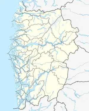
 Langavatnet Location of the lake  Langavatnet Langavatnet (Norway) | |
| Location | Ullensvang, Vestland |
| Coordinates | 60°03′57″N 6°44′59″E / 60.0659°N 6.7496°E |
| Basin countries | Norway |
| Max. length | 4.7 kilometres (2.9 mi) |
| Max. width | 2.3 kilometres (1.4 mi) |
| Surface area | 6.19 km2 (2.39 sq mi) |
| Shore length1 | 13.4 kilometres (8.3 mi) |
| Surface elevation | 1,190 metres (3,900 ft) |
| References | NVE |
| 1 Shore length is not a well-defined measure. | |
Langavatnet is a lake in Ullensvang Municipality in Vestland county, Norway. The 6.19-square-kilometre (2.39 sq mi) lake lies about 10 kilometres (6.2 mi) straight east of the town of Odda. The lake has a dam at the north end to regulate the water level for the purposes of hydroelectric power generation. The water of the lake previously flowed north to create the large Ringedalsfossen waterfall which now only flows when the lake gets too full. The water flows over the falls into the lake Ringedalsvatnet (which has a dam at its western end) before flowing through the short river Tysso which empties into the Sørfjorden.[1]
See also
References
- ↑ Store norske leksikon. "Skjeggedalsfossen" (in Norwegian). Retrieved 2014-06-13.
This article is issued from Wikipedia. The text is licensed under Creative Commons - Attribution - Sharealike. Additional terms may apply for the media files.