| Nasvatn | |
|---|---|
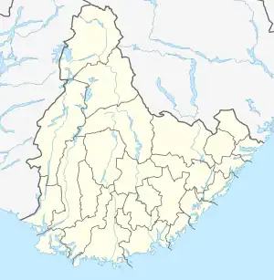
 Nasvatn Location of the lake Show map of Agder Nasvatn Nasvatn (Norway) Show map of Norway | |
| Location | Åmli, Agder |
| Coordinates | 58°50′50″N 8°09′56″E / 58.8471°N 08.1656°E / 58.8471; 08.1656 |
| Basin countries | Norway |
| Max. length | 2.7 kilometres (1.7 mi) |
| Max. width | 3 kilometres (1.9 mi) |
| Surface area | 2.46 km2 (0.95 sq mi) |
| Shore length1 | 19.36 kilometres (12.03 mi) |
| Surface elevation | 618 metres (2,028 ft) |
| References | NVE |
| 1 Shore length is not a well-defined measure. | |
Nasvatn is a lake in the municipality of Åmli in Agder county, Norway. It is located about 3.5 kilometres (2.2 mi) north of the village of Hillestad in the mountains above the Tovdal river valley. The lake has a small dam on the southwestern end, and the water leaving the lake goes down a large waterfall and eventually drains in the river Tovdalselva.[1]
See also
References
This article is issued from Wikipedia. The text is licensed under Creative Commons - Attribution - Sharealike. Additional terms may apply for the media files.