For the lakes in Sweden, see Långsjön.
| Langsjøen | |
|---|---|
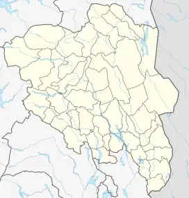 Langsjøen Location of the lake Show map of Innlandet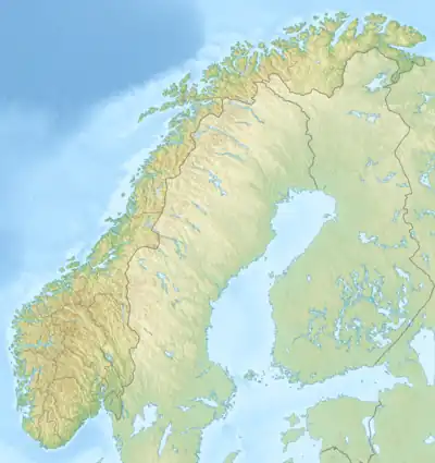 Langsjøen Langsjøen (Norway) Show map of Norway | |
| Location | Tolga, Engerdal (Innlandet) |
| Coordinates | 62°9′49″N 11°35′39″E / 62.16361°N 11.59417°E / 62.16361; 11.59417 |
| Primary inflows | Hola river |
| Primary outflows | Sømåa river |
| Basin countries | Norway |
| Max. length | 9 kilometres (5.6 mi) |
| Max. width | 1 kilometre (0.62 mi) |
| Surface area | 6.35 km2 (2.45 sq mi) |
| Shore length1 | 27.26 kilometres (16.94 mi) |
| Surface elevation | 709 metres (2,326 ft) |
| References | NVE |
| 1 Shore length is not a well-defined measure. | |
Langsjøen is a lake in the municipalities of Tolga and Engerdal in Innlandet county, Norway. The 6.35-square-kilometre (2.45 sq mi) lake lies in the Sømådalen valley in the southeastern part of the municipality, just west of the large lake Femund. The village of Øversjødalen lies at the north end of the lake and the mountain Elgspiggen lies about 10 kilometres (6.2 mi) west of the lake.[1]
See also
References
- ↑ "NVE Atlas". Norwegian Water Resources and Energy Directorate - Innsjødatabase. Retrieved 2020-12-19.
This article is issued from Wikipedia. The text is licensed under Creative Commons - Attribution - Sharealike. Additional terms may apply for the media files.