| Øyangen | |
|---|---|
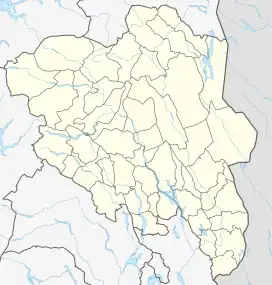 Øyangen Location of the lake Show map of Innlandet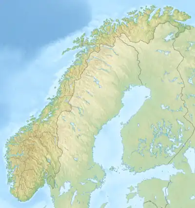 Øyangen Øyangen (Norway) Show map of Norway | |
| Location | Nord-Fron Municipality, Innlandet |
| Coordinates | 61°24′48″N 9°14′17″E / 61.41342°N 9.23801°E / 61.41342; 9.23801 |
| Basin countries | Norway |
| Max. length | 3.5 kilometres (2.2 mi) |
| Max. width | 2.1 kilometres (1.3 mi) |
| Surface area | 4.25 km2 (1.64 sq mi) |
| Shore length1 | 16.36 kilometres (10.17 mi) |
| Surface elevation | 998 metres (3,274 ft) |
| References | NVE[1] |
| 1 Shore length is not a well-defined measure. | |
Øyangen is a lake in Nord-Fron Municipality in Innlandet county, Norway. The 4.25-square-kilometre (1.64 sq mi) lake lies about 15 kilometres (9.3 mi) to the southwest of the village of Skåbu, and it is about 7 kilometres (4.3 mi) north of the Langsua National Park.
See also
References
- ↑ "Innsjødatabase". nve.no (in Norwegian). Retrieved 9 June 2022.
This article is issued from Wikipedia. The text is licensed under Creative Commons - Attribution - Sharealike. Additional terms may apply for the media files.