| Dingevatn | |
|---|---|
| Dingevatnet | |
 View of the lake (photo: Bjarne Thune) | |
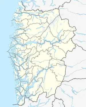
 Dingevatn Location of the lake  Dingevatn Dingevatn (Norway) | |
| Location | Gulen Municipality, Vestland |
| Coordinates | 61°02′10″N 5°05′16″E / 61.0360°N 5.0877°E |
| Type | glacial lake |
| Primary inflows | Eikedalselva from Brossvikvatnet |
| Primary outflows | Dingjaelva |
| Catchment area | 27.47 km2 (10.61 sq mi) |
| Basin countries | Norway |
| Max. length | 3 km (1.9 mi) |
| Max. width | 1.6 km (0.99 mi) |
| Surface area | 2.85 km2 (1.10 sq mi) |
| Average depth | 88 m (289 ft) |
| Max. depth | 220 m (720 ft) |
| Water volume | 0.251 km3 (0.060 cu mi) |
| Shore length1 | 14 km (8.7 mi) |
| Surface elevation | 26 m (85 ft) |
| Islands | Øyna |
| Settlements | Dingja |
| References | NVE |
| 1 Shore length is not a well-defined measure. | |
Dingevatn or Dingevatnet is the 18th deepest lake in Norway, reaching a maximum depth of 220 metres (720 ft). It is located in the municipality of Gulen in Vestland county. The 2.84-square-kilometre (1.10 sq mi) lake is located just east of the village of Dingja, about 1 kilometre (0.62 mi) southeast of the mouth of the Sognefjorden. The lake lies about 4 kilometres (2.5 mi) north of the municipal center of Eivindvik. The lake flows out into the small Dingjaelva river, which runs past the village of Dingja before emptying into the Sognesjøen strait.[1][2]
See also
References
- ↑ Store norske leksikon. "Innsjø" (in Norwegian). Retrieved 13 August 2010.
- ↑ "Dingevatnet" (in Norwegian). yr.no. Retrieved 13 August 2010.
This article is issued from Wikipedia. The text is licensed under Creative Commons - Attribution - Sharealike. Additional terms may apply for the media files.