Saint-Nizier-sur-Arroux | |
|---|---|
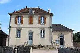 The town hall in Saint-Nizier-sur-Arroux | |
Location of Saint-Nizier-sur-Arroux | |
 Saint-Nizier-sur-Arroux  Saint-Nizier-sur-Arroux | |
| Coordinates: 46°48′19″N 4°08′23″E / 46.8053°N 4.1397°E | |
| Country | France |
| Region | Bourgogne-Franche-Comté |
| Department | Saône-et-Loire |
| Arrondissement | Autun |
| Canton | Autun-2 |
| Area 1 | 10.16 km2 (3.92 sq mi) |
| Population | 119 |
| • Density | 12/km2 (30/sq mi) |
| Time zone | UTC+01:00 (CET) |
| • Summer (DST) | UTC+02:00 (CEST) |
| INSEE/Postal code | 71466 /71190 |
| Elevation | 262–362 m (860–1,188 ft) (avg. 271 m or 889 ft) |
| 1 French Land Register data, which excludes lakes, ponds, glaciers > 1 km2 (0.386 sq mi or 247 acres) and river estuaries. | |
Saint-Nizier-sur-Arroux is a commune in the Saône-et-Loire department in the region of Bourgogne-Franche-Comté in eastern France.
See also
References
- ↑ "Populations légales 2021". The National Institute of Statistics and Economic Studies. 28 December 2023.
Wikimedia Commons has media related to Saint-Nizier-sur-Arroux.
This article is issued from Wikipedia. The text is licensed under Creative Commons - Attribution - Sharealike. Additional terms may apply for the media files.